ArcGIS Certified Lab
Certificate in Forensic Crime Mapping (GIS)
A 16-credit technical certificate in geographic information systems (GIS), spatial statistics, ShotSpotter acoustic integration, and crime density modeling.
16 Credits
Curriculum Duration
$385 / Credit
Flat Tuition Rate
100% Applied
Simulation & Lab Grounded
Program Overview & Career Trajectory
Teaches law enforcement intelligence analysts how to utilize ArcGIS Pro to map temporal crime patterns, manage geographic suspect profiles, and optimize patrol deployments.
Taught by veteran practitioners, retired circuit judges, and federal task force directors, students gain direct experiential exposure through moot court trials, evidence extraction laboratories, or community legal clinics.
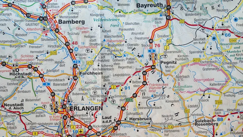
Hands-on practical training in our Downtown Detroit facilities.
Required Curriculum Sequence
| Code | Course Title | Credits | Core Competencies & Practicum |
|---|---|---|---|
| FORN 270 | Introduction to GIS & Spatial Data for Public Safety | 3 | Cartographic principles, coordinate systems, geocoding incident logs, and Detroit maps. |
| FORN 271 | Spatial Statistics & Crime Hotspot Analysis | 3 | Kernel density estimation, Moran's I spatial autocorrelation, and emerging hotspot cubes. |
| FORN 272 | Acoustic ShotSpotter & Sensor Telemetry Integration | 3 | Realtime sensor feeds, gunfire geolocation triage, and dispatch response optimization. |
| FORN 273 | Predictive Policing Analytics & Constitutional Ethics | 3 | Algorithmic bias mitigation, Fourth Amendment geofence warrants, and transparency. |
| FORN 298 | Crime Analysis Unit GIS Practicum | 4 | Semester project delivering an actionable spatial crime analysis report for local police. |
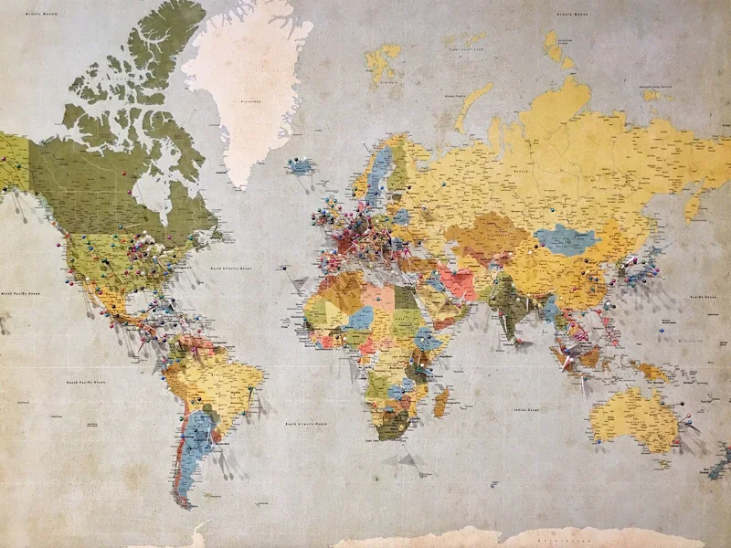
ArcGIS Pro kernel density spatial hotspot analysis across Detroit municipal sectors.